
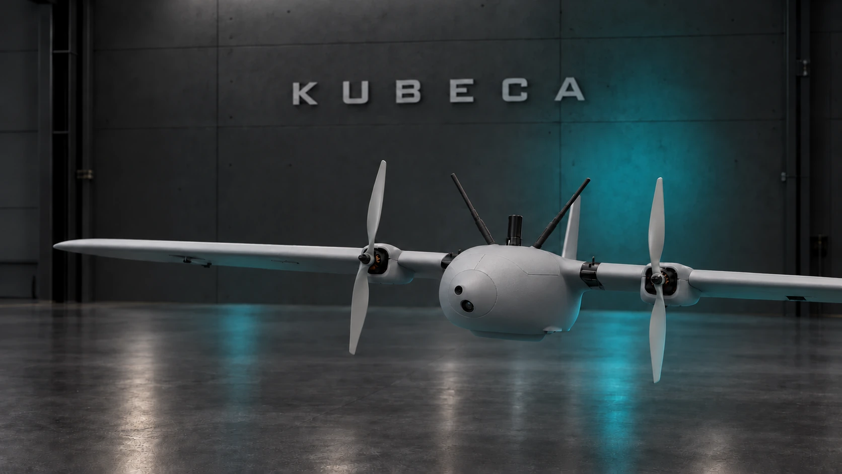
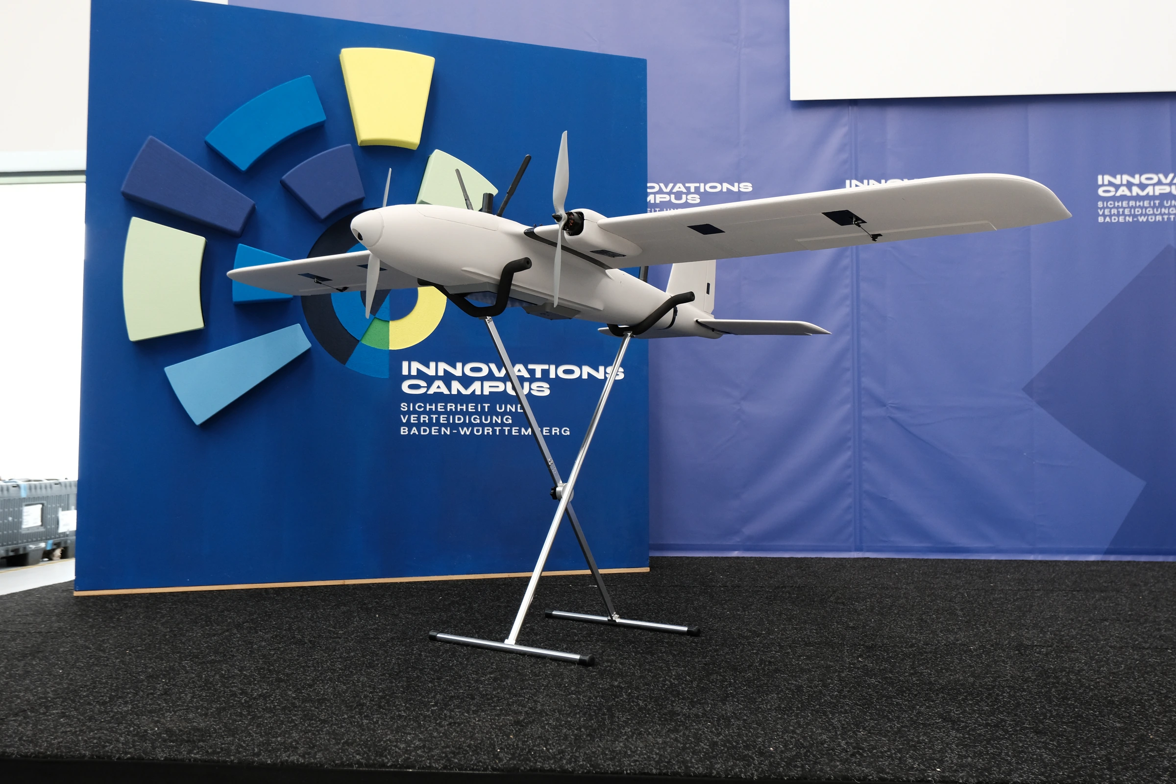
Visualisation of the photographed KUBECA fixed-wing prototype in a dark hangar

GNSS-denied & EW-contested

Autonomous aircraft.
Working as one team.

KUBECA develops drone platforms, onboard navigation and mission software for GNSS-denied and electronically contested environments. Spatial understanding brings maps and detections into one shared operational picture.

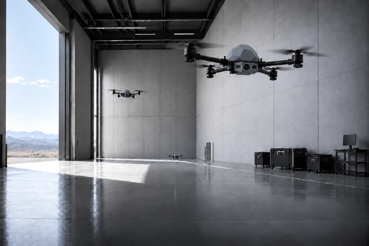
Prototype-based visualisation of KUBECA quadcopters with one camera and two ToF sensors in a cool grey concrete hangar
How the system works

01 - GNSS-denied navigation.

Visual navigation for fixed-wing aircraft and quadcopters, designed to support missions without reliable satellite positioning. Onboard mapping links detected objects to their surroundings, building spatial understanding in contested environments.

Fixed-wing evaluation on real flight data · 3.3 km route · 11.7 m RMS horizontal error (0.35% of route length)
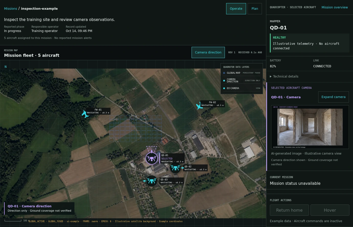
Turquoise presentation of the current KUBECA C2 mission workspace showing the mission header, shared aircraft map and selected quad’s camera and status. Illustrative mission data and AI-generated interior camera imagery.
How the system works

02 - Coordinate multiple aircraft.

Assign tasks by text or voice, review plans and supervise the fleet in KUBECA C2. Maps, imagery and detections build one shared operational picture.

Demonstrated in a digital twin.
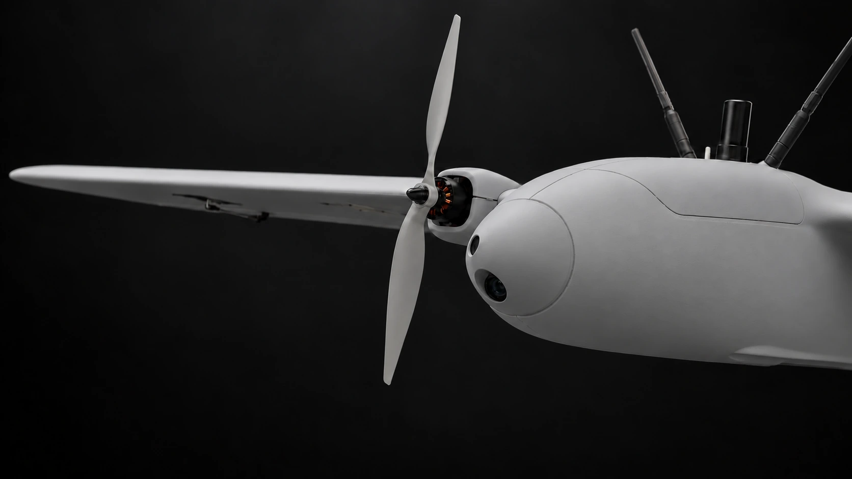
Prototype-based close-up visualisation of the KUBECA aircraft nose and cameras
How the system works

03 - Extend the reach.

A dedicated carrier drone is planned to transport and deploy local drones near the mission area, extending their reach.

Future carrier concept.

Explore the technology
Technology & collaboration

Let’s build the
next connection.

Talk with us about aerial autonomy, carrier-and-scout integration, or mission software.

Contact the team